This is a continuation of my multi-part series on learning to fly. You can read the whole Fly With Francis series here.
It’s been a good while since I’ve done a Learning to Fly post. Since the last time, I’ve completed my first biennial flight review, which is a mandatory mini-checkride done every two years with a flight instructor, that’s designed to verify that a pilot has properly maintained both their flying skills and regulatory knowledge.
I’ve been doing a ton of local flying around Puget Sound, plus a few flights over the mountains to central Washington state, all via rented aircraft from Galvin Flying.
Because of the Pacific Northwest’s consistently lousy winter weather, with very low clouds, rain, and low visibility, it had been a couple months since my last flight. So I booked some time with a trusted CFI and got lucky with a nice weather window, and off we went to do some practice.
I honestly miss the structure of flight training. You could expect to be constantly challenged, and asked to randomly perform flight maneuvers or emergency procedures. There are still plenty of challenges when flying on your own, but you soon settle into comfortable routines.
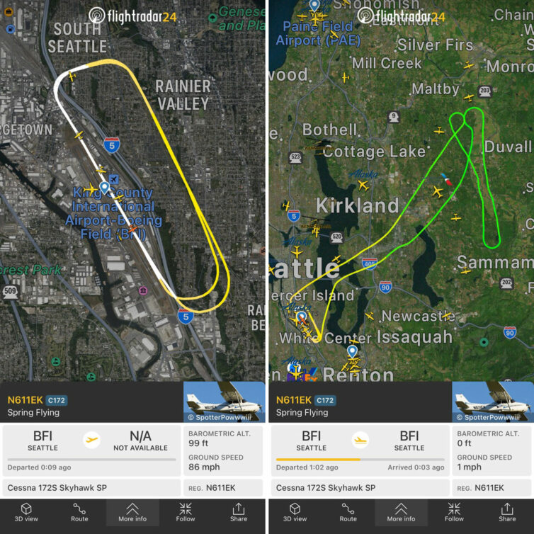
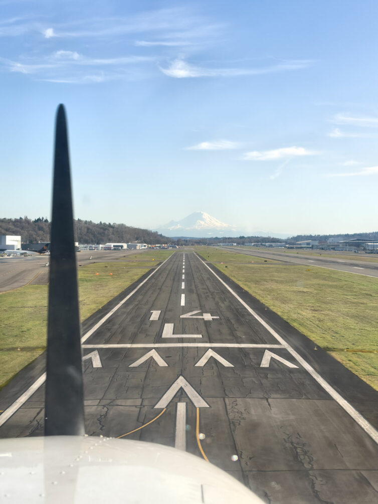
Our training flight first consisted of three laps around the traffic pattern at Seattle’s Boeing Field doing touch-and-go landings, then we exited the pattern and flew to one of our local practice areas, the one we refer to as northeast practice, as it lies to the northeast of BFI. We also have west practice, which is across Puget Sound and east of the Bremerton airport, and southeast practice, which is, perhaps unsurprisingly, southeast of BFI and east of Auburn airport.
A lot of my own flying has been to the southwest over to Tacoma Narrows Airport, or northwest along the Olympic Peninsula to Jefferson County Airport in Port Townsend, so we went northeast for something of a change, plus the transit time is the shortest of the three training areas.
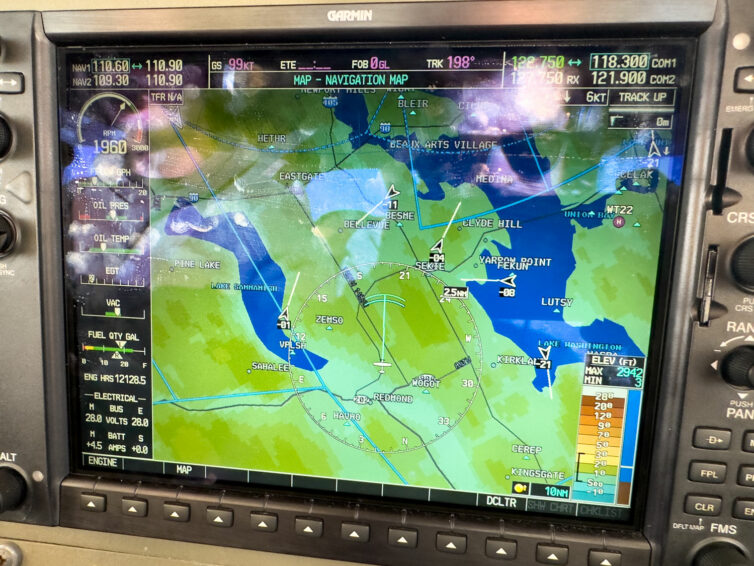
The Cessna 172 we flew that day was equipped with a Garmin G1000 instrumentation and navigation system, which includes traffic. The arrows on the screen above represent aircraft in the area as we were leaving the practice area and descending to stay well beneath SEA’s overhead Bravo airspace when we were returning to BFI. The extended line from each arrow shows direction of travel, and the numbers indicate the altitude above or below your own; super handy info to augment what you’re seeing out the windshield.
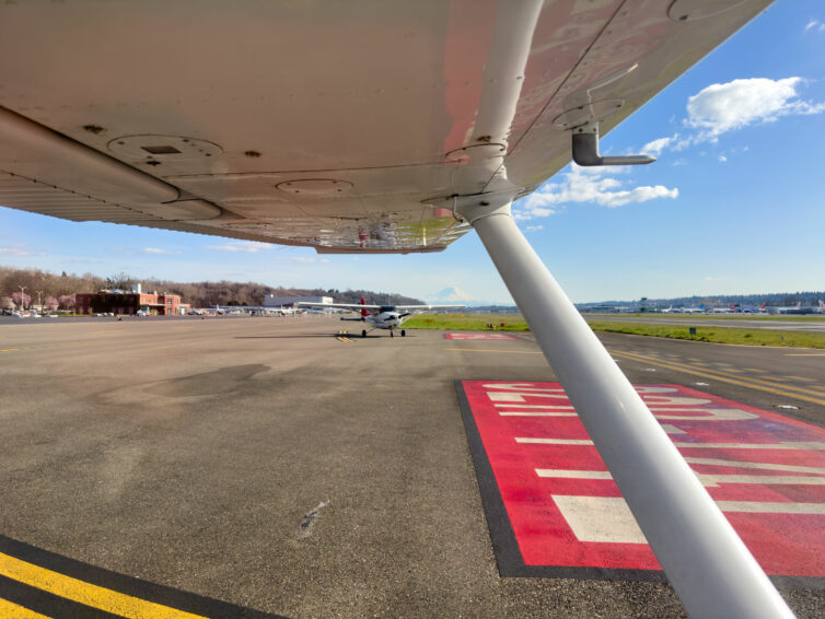
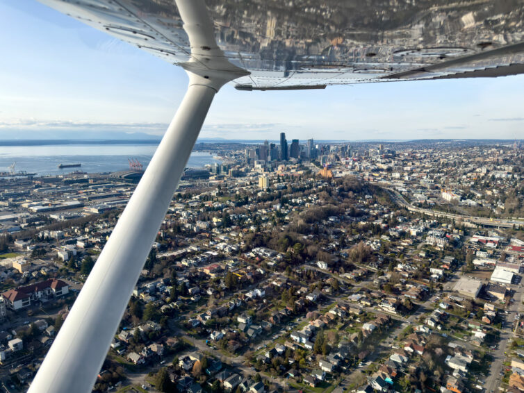
There was nothing crazy or groundbreaking about the flight. We did some touch-and-go landings, then went out to the practice area and did a couple of stalls (one power-off approach to landing stall, and one power-on departure stall), and then headed back.
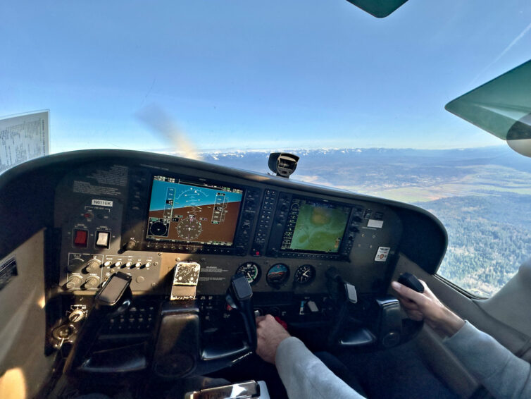
It’s focused practice flights such as these that keeps you safe as a pilot, and keeps your basic proficiency levels up to standard. I’ll go out again with Adam this spring to do some simulated emergencies to keep those skills sharp, too.
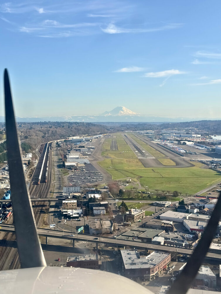
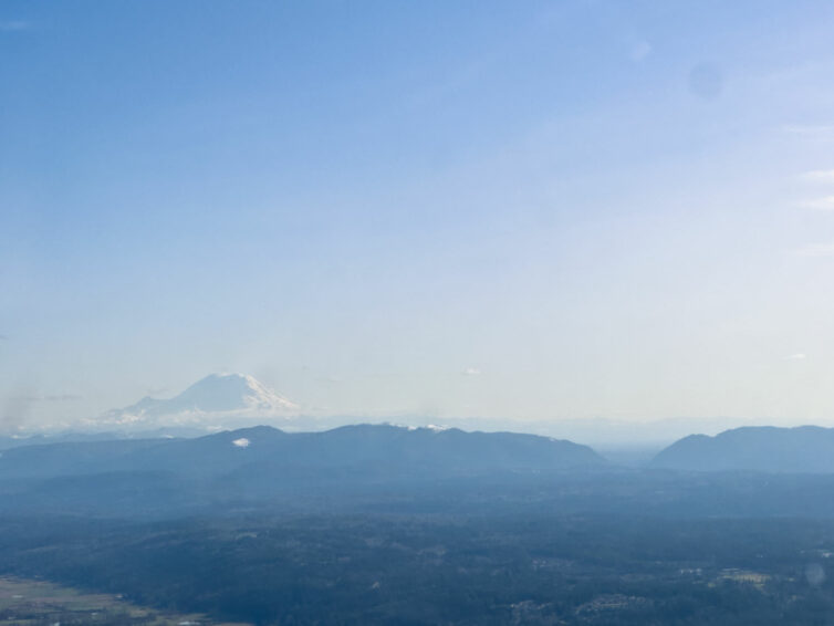
And I’ll leave you with one more photo of one of my favorite views ever. More soon — summer is coming.
